Maps
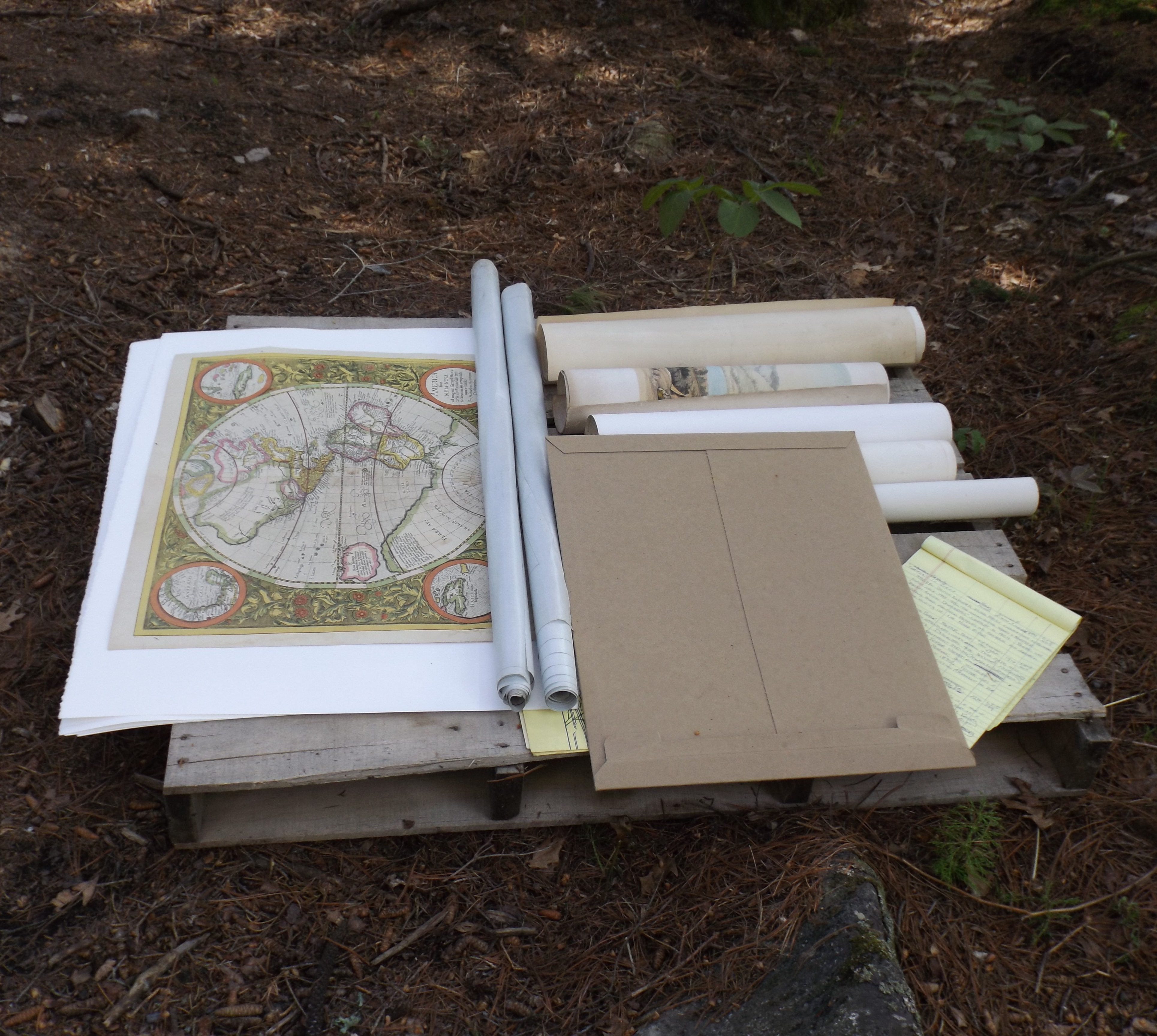
Ernest C. Oberholtzer collected maps as well as books and records and art prints. He also created maps. Maps were also a large part of Ober’s advocacy work, and his archives hold old maps of the Rainy Lake watershed or the Quetico-Superior region as a whole. In 2015 and 2016, the Oberholtzer Foundation chose ten of Ober’s maps to be scanned into detailed digital form. They were selected as samples of maps showing his work. Included in the digital collection are the two maps that Oberholtzer drew himself from sketches made during the 1912 canoe journey to Hudson Bay and back. Others show notations that Oberholtzer made in his wilderness policy work, specifically of the Quetico-Superior region or Minnesota boundary region.
Included in this database are:
- A 1927 map of the boundary waters region
- A 1928 planning map for the Superior National Forest area
- A map of the Grand Portage Indian Reservation and the proposed Hwy 61
- Planned additions to federal forests in Minnesota, Quetico-Superior region
- An 1897 Bureau of Mines map of the SE part of the Rainy River District
- A sketch map of the Rainy Lake Watershed and proposed dams
- A Superior National Forest recreation site planning map, 1934 additions on a 1928 map
- State parks planning map showing 22 Minnesota state parks
- A handmade map by Ernest C. Oberholtzer of Lake Nutheltin to Seal Hole Lake, 1913
- A handmade map by Ernest C. Oberholtzer of the Thlewiaza River as it flows to Hudson Bay, 1913.

